


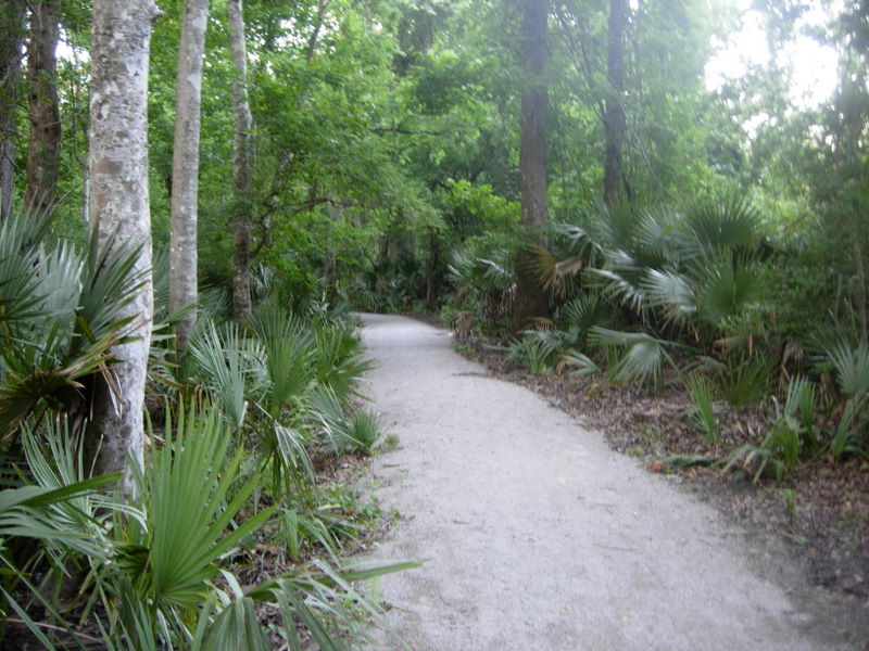
Last night after dinner, we took a little walk on the path through this jungle. We didn't really know where this path would take us, and the Vermillion River is near here, but we did not get there.


We've seen several dead armadillos on the highways, but this was the first live on this trip, and just the second one I've ever seen. We didn't have our New Mexico walking sticks but Joe says from now on, we have to have them. Who knows what we might have to fight off!
We got up this morning to 68 degrees, another beautiful day. We slept without air conditioning last night; we are so lucky with the weather right now. We sat outside with our coffee while Joe contemplated his day -- I'm sure that's what he was doing.

We headed to New Iberia, but when we got to the intersection with Highway 90, it was closed and we had to detour on through town to Hwy 674. We first thought it was road construction, but we heard over the CB radio that they were moving a tree. I did a little research and found this:
"Mr. Al, an ancient oak that stands beside U.S. Route 90 near New Iberia, will soon have a new home. The massive tree, estimated to be at least 150 yearsold, was orginally scheduled to move last week but that had to be delayed after the lifting jacks sank into the soggy ground."
So today was the day they moved it, and we got caught up in the detour. Then, just as we got to the intersection to get back on 90, there was an asphalt machine, unrelated to the road closure, blocking our way. It was working on the frontage road, but that held us up another 10 minutes. It's a good thing we don't have a schedule! Then, just as they let us by, they opened 90 back up, both ways, but traffic had to get off and immediately back on at this exact intersection, so we had a little traffic to deal with then. But, finally, we got back up on the highway and away we went. Portions of this highway are really rough, reminds us of last year's frost heaves in Alaska and Canada. As Joe drives along, he pays a lot of attention to the crops growing in the fields -- can't take the farmer out of him, I guess. We kept seeing something that he couldn't identify, but, again after some research, we now believe it is sugar cane. We saw thousands of acres planted with this crop, miles after miles, for 2 days.

As we drove through Calumet, I believe it was, we passed an above-ground cemetery.

We crossed a bayou here, which is fed from Lake Atchafalaya--the lake they are diverting some of the flood water through to protect New Orleans. The water is not very many feet below the railroad bridge, and probably the one we were on as well.


We drove through Morgan City, and as we crossed that bridge, we could see the sea wall at the town's edge. It looked like a lower flood wall had already been reached, but it looked like they did have some protection yet. If you can see the printing on the wall, that's what I'm talking about.


As we crossed the Mississippi River again, into New Orleans, it was running strong, and it is full.


No comments:
Post a Comment