
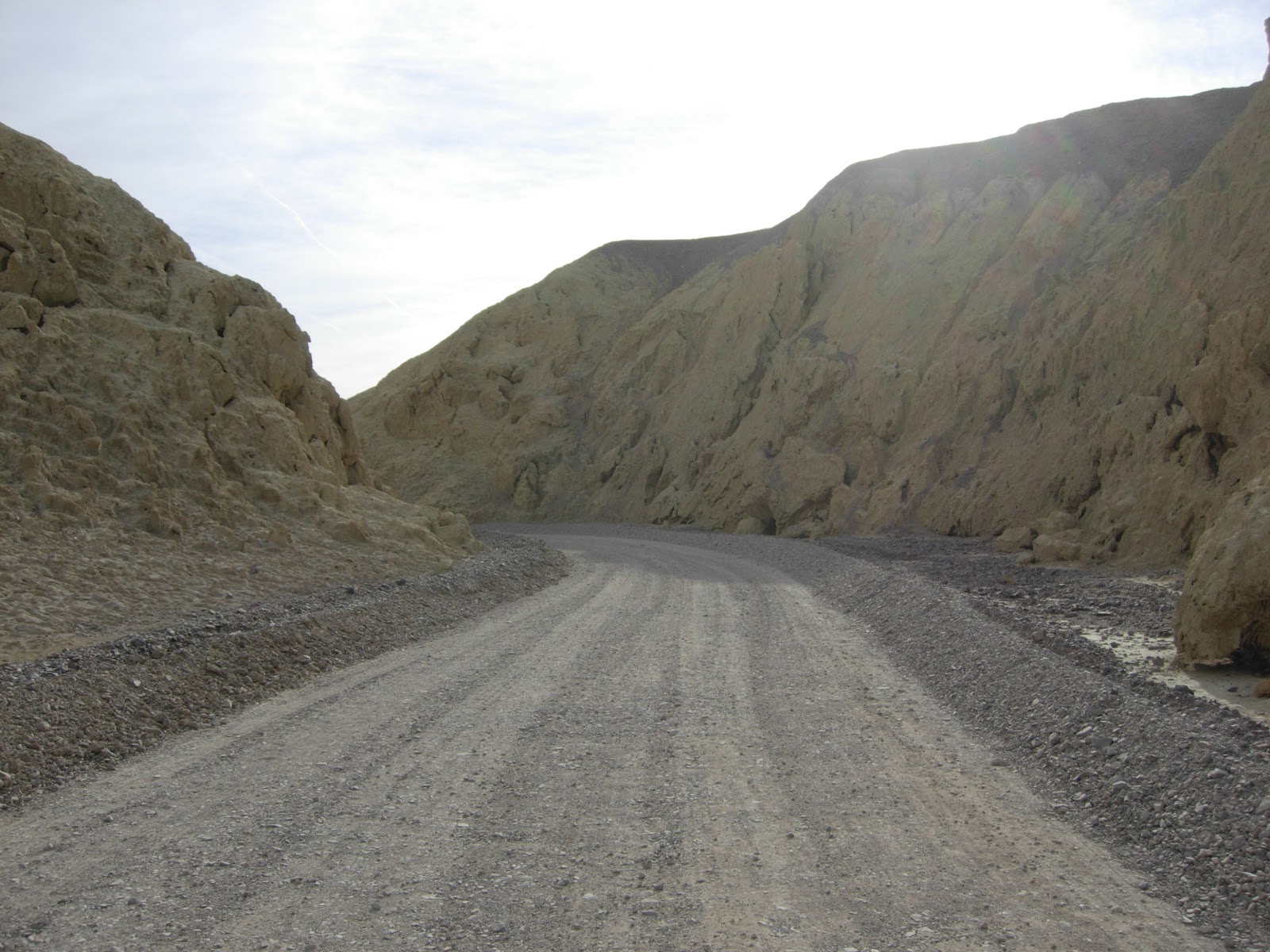
Harmony Borax Works
Today, we headed south to cover that part of the park. Our first stop was at the Harmony Borax Works, where the historic borax operation became famous through the use of 20 mule teams that moved borax from Death Valley to nearby communities. Actually, most teams had 18 mules and 2 draft horses, added to provide extra strength right in front of the wagons. Joe and I had stopped here on our one drive-through the park back in 2004.


Furnace Creek
We continued on our way to the Furnace Creek Visitor Center, passing another sign telling us our elevation. But we weren't at the lowest point yet!


We went into the General Store and I found another pet for the traveling zoo -- a bighorn sheep, which we had seen on our Alaska trip, and had seen just the other day outside of Las Vegas. I also found a great turtle, and we had been looking for one of those since last year's trip where we saw lots and lots of turtles, in Missouri, Indiana, and Florida. So here's the new additions.


Devil's Golf Course
We continued on our way, next stop was the Devil's Golf Course, an immense area of rock salt eroded by wind and rain into jagged spires. Someone once said the area was so incredibly serrated that "only the devil could play golf on such rough links," thus its name. This was absolutely amazing, one of our favorite sights here.


It was really rough walking here, and we were very careful not to fall because that would have been very painful. You can see the salt crystals, all the white. It was awesome.
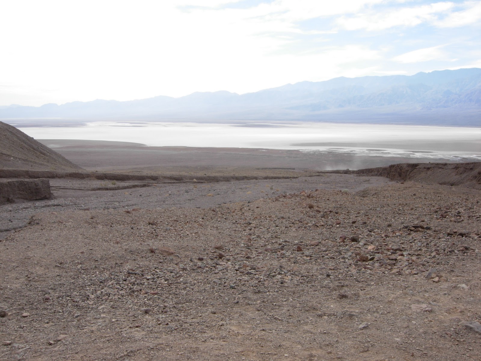
Bad Water Basin
Our next stop, and the end of our travel down this road, was the lowest point in North America -- Badwater Basin, a landscape of vast salt flats that look like a lake. There is some water here, left from the last rain I guess. History says some old cowboys stopped here and tried to water his horse, but the horse would not drink the water, so the cowboy thought the water was bad. It was not bad, just very salty. There is a Sea Level sign way up on the bluff here, just to have you an idea of how far below sea level we were.


We walked all the way out to the flats, which really did look like people were walking on water. Coming back, Joe and Mazie checked the bottom of their shoes to see how much salt was sticking.


We headed back to the car, dusted off our shoes, and off we went to the next stop.
Natural Bridge
Our next stop unexpectedly involved a hike, uphill, to a natural arch, or bridge. I almost opted out of this hike about halfway up, but Joe and Mazie forged ahead, so I trudged up behind them. Dave was the smart one, he knew his knee wouldn't make this trip, so he stayed back with Ar'gent in the car.


Artist's Drive
The last thing on today's agenda was a drive through the beautiful, colorful mountains called the "Artist's Drive," culminating in a stop at the "Artist's Palette." The colors on these mountains are unbelievable, all hues of mauves, greens, browns and reds. It was a cloudy day so we didn't get the benefit of sunshine to bring out these colors, and I am sure my pictures won't do justice to them, but they were astounding.


Our day had gotten long, and we were tired and ready to head back to camp, but we certainly saw a lot of spectacular sights today. Who knew there was so much to see at Death Valley National Park! After our full day of exploration, Joe was ready to relax in his recliner.

Hey now, those are some million dollar feet! Pretty toes there toots.
ReplyDelete- Cathy