Well, today we went with Plan B. Plan A was a loop drive up to Big Bay first thing, but Joe has been worrying about the left wheel bearing on the Explorer, so we decided to find a Ford dealer and have them check it out. The Johnsons decided to contact a local vet to get updated paperwork for Ar'gent to cross the border into Canada in the next week or so. But before we even left the RV, Dave spotted a leak by our door on the RV, so we had to pull everything out from under the sink, and Joe had to tighten up a connection. The water pressure here in the park is really high (if that is the right word), so after he got that fixed, he went out and put our pressure valve on the hose. Now the water is hardly more than a dribble, but no leaks. Then we took off.
So Plan B is that we left our car at the dealership, and their courtesy van brought us back to the RV. On the way back, our driver drove us down to Presque Isle where they are having the big craft show this weekend, called "Art on the Rocks." We need to drive down there and check that out. That is why the campgrounds here are full -- the van driver said it is a really big deal. There is a structure down on the water that we couldn't figure out what was. The driver said it is an "ore dock," where ships come in to unload their freight and then load up with iron ore to take to Canada or wherever. We saw a similar structure in town, but he said they don't use that one any more. "
The pocket ore dock of the Lake Superior and Ishpeming Railroad in
Marquette represents a historically significant engineering feat. It was
the first such dock of its type constructed on the Upper Great Lakes
and is the only operating ore-loading facility in Marquette's harbors.
Iron ore ships are loaded daily."

Dave and Mazie returned from the vet with new paperwork, and I got the stuff put back under the sink, so now we are good to go until we hear back from the Ford dealer. As we drove out of the campground, Joe stopped so I could take a picture of the pretty drive in -- very woodsy. This is a really nice campground, right on a lake, and we've stayed at some other really nice campgrounds, but we stay so busy we haven't been able to take advantage of the peacefulness of them.
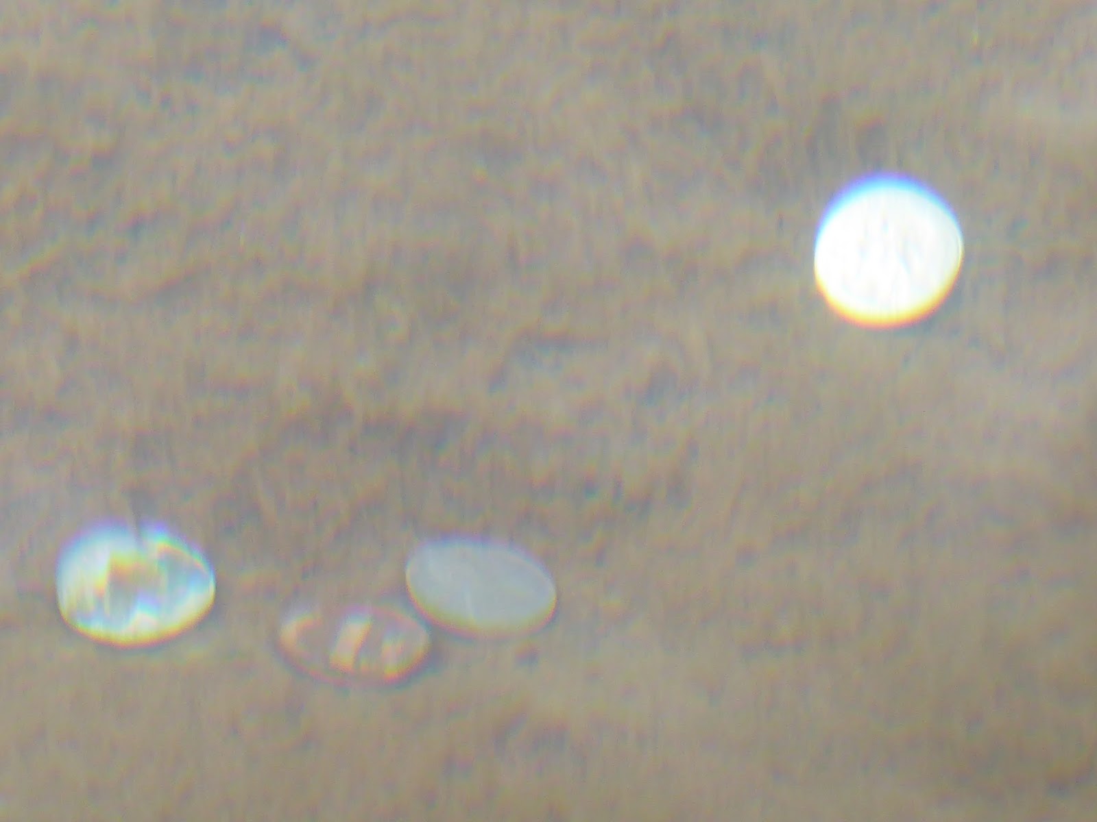
We drove down to the pier on Presque Isle to get a better look at the ore dock. The water in these great lakes is crystal clear, it is amazing. People had thrown coins onto some of the underwater rocks and those coins just sparkled.
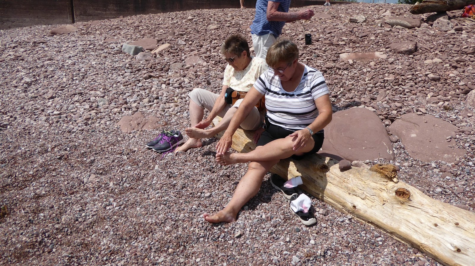
Then we walked down to water's edge to put our toes in Lake Superior. That finishes the Great Lakes for me for getting my feet wet in all 5 of them.
Dave even walked down to take our picture.
Joe wanted to walk part of the trail here, so David went back to the car to pick us up, and we headed up the hill. We didn't know they didn't unlock the gate until 1:00, but they unlocked it while we were up here (it was 1:00) and Dave was the first car up the trail. Mazie and I played the drum posts on the gazebo before continuing on.
They have pretty rocks of all sizes in this part of the country. We knew Brenda would like this one.
Also here in this park was this slab of the "World's Largest Glacial Copper." Joe wondered how deep the copper vein ran in it.
We pulled up here to look the ore dock over a little better, and a train backed a bunch of cars in while we watched. Unfortunately, we never got to see a ship come in to unload the coal and load up on iron ore. There was one in port this morning before we got out here.
We drove into town to get a picture of the dome and to grab some lunch. "
The Superior Dome, which opened as the "world’s largest wooden dome" on September 14, 1991,is a domed stadium on the campus of Northern Michigan University." Since it opened on my birthday, it has to be awesome.
There are lots of waterfalls of varying sizes here, and I had a brochure of all the waterfalls, so we went on the hunt for one of these. This is the Dead River-Wright Street Falls. We had one false start for this adventure, we parked at the wrong parking lot and walked a little bit of a trail but then we asked a lady walking back if this was the trail to the waterfall, and she straightened us out. So back to the car we went, drove about half a mile up the road, and found the right spot.
Joe came back to the beginning and took the trail up the back side, but had to come through the jungle to get back to the car.
We got the phone call from the car dealership -- more bad news. It was the right front wheel bearing, which Joe expected although he thought it was the left one. But also the upper and lower ball joints were bad. So what we hoped would be under $500 is now looking to be $1400. So I guess the vehicle virus that hit the Brundiges has now hit us. And it's not going to be done today. So, now we had the rest of the afternoon free, so we all stopped by the RV, grabbed Ar'gent and some bottles of water, and headed out to Big Bay. We have two GPS's so we shouldn't get lost. HA!
We took 550 to Big Bay, and just before we got to town, we took a side road to Thomas Rock, which had a nice trail and identifying markers for some of the trees and plants. And a nice view of the lake.
Then we drove on into Big Bay. They have a nice little inlet here with protection from the wind and waves. A boat was going through the opening just as we stopped.
The beach was nice here too, with lots of colorful rocks. I picked up a few for Brenda.
 |
| Under the clear water |
There was a lighthouse here that had been turned into a bed and breakfast.
The smokestack is the only remaining one of 5 back in Big Bay's sawmill days. At one time, Brunswick owned the mill here and made bowling pins here, and it was later bought by Henry Ford.

From the getgo, Joe wanted to drive this loop road, the return of which was dirt, which takes us through what is supposedly moose country. He had said he was just going back the same highway we came on since we were in the Johnsons' car (550) but I knew he would not pass by a side road. So when it got time to head back (past time really), of course he took the side road. He intended to take 510, but somehow missed the turn and we ended up driving 15 miles on the Triple A road, most of which was paved. When it ran out, a pick-up happened to be parked there, so Joe asked him the best way to get back to Marquette. He told us we had to turn around and go back the way we had come. Ugh. But we did (actually, the pick-up driver led us back). We found the turn to 510 this time, and about 90 minutes later, we arrived in Marquette, 8:00 p.m.! We saw one deer, no moose.
Mazie was cooking a roast in her crockpot but I think it got too late for them to eat that big of a meal. But not us, of course. We dropped them off, and using their car, we went to this really neat Mexican restaurant across the street from the lake. It had a nice view, and the food was excellent.
The one other attraction that I wanted to check out here was Pebble Beach, so after we finished eating, we drove just a couple of miles along the lake to this beach. It did have nice rocks, and a pretty nice sunset since it was now 9:30 (and still not dark).
 |
| under the clear water |
I have a little bag of these for Brenda. There were some big rocks offshore that lots of birds were occupying. And Joe came across a couple of sand castles as we walked back to the car.
So the plan for tomorrow is that we are going to move to the next town, Munising, to a casino with free RV parking and electric hook-ups (53 miles from here). Then drive back in the Johnsons' car to pick up the Explorer when they call and say it is ready, they are trying to get it done by noon. The problem is finding campsites on weekends, so we hope to get to the casino early enough to get 2 of their 7 campsites for the weekend. We will see how all that works out tomorrow!


No comments:
Post a Comment